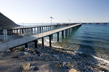
Marine Map
The Marine Map shows the locations of marine structures on the South Australian road network including:
- jetties
- jetties with bridges
- causeways
- fishing platforms
- observation decks
- wharfs
For ferry ramps and other road structures, see the Structure Map.
If you are unable to access the map, contact the IS Service Desk on telephone 7133 3600 or log an online request.
Map preview